Road intelligence. From understanding to action.
Make every road
intelligent.
Bring your traffic data together. Understand what’s happening.
Act where it matters.
XVision helps road authorities and consultants create better, safer road networks by bringing traffic data, specialist sensing and roadside action together.
XVision Command
Days of work.
Minutes to insight.
Turn scattered road data into clear findings, faster. Command brings the evidence together so your team can spend less time on data work and more time on decisions.
Explore Command→Bring your sources together
- Specialist sensing
- Crash records
- Connected vehicles
- Traffic surveys
- Video
XVision CommandJLJamie Lee
Location workspace
Chapel Street · School crossing
One location. Connected evidence. A clear next step.
Evidence at this location
+ Add data●Movement & near-miss observations
●Connected vehicles
Not connectedSpeed & journey patterns
●Volumes & crossing activity
●Live feeds & recorded video
What the evidence shows
✦ AnalyseAverage speed: 38 km/h during school arrival.
3 near misses involving drivers failing to yield.
Full report →Next action
Review crossing operation with the traffic team. Record the decision and compare conditions after a change.
Draft review →Cancel
Suggest another action…↑
Specialist sensing
Understand behaviour.
Turn evidence into action.
Measure how people and vehicles use your roads. XVision combines high precision spatial positioning, trajectory and velocity with on-device reasoning to describe road-user behaviour in plain language. Review evidence faster, justify decisions and send real-time inputs directly to roadside equipment.
Privacy by design.
Process observations at the edge. Configure the data and evidence retained for each application, with privacy built into the deployment.
Rapid deployment · Flexible sensing
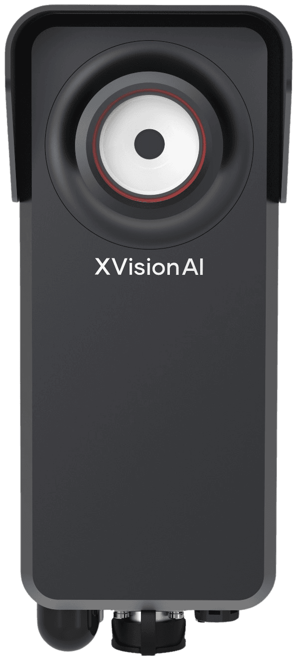
Scout
Deploy rapidly to measure movements, behaviour and near misses. Collect the evidence a location needs, temporarily or permanently.
Explore Scout→Response on site.
3D spatial detection and on-device reasoning connect directly to signals, warnings and roadside control equipment for real-time response.
Permanent sensing & response
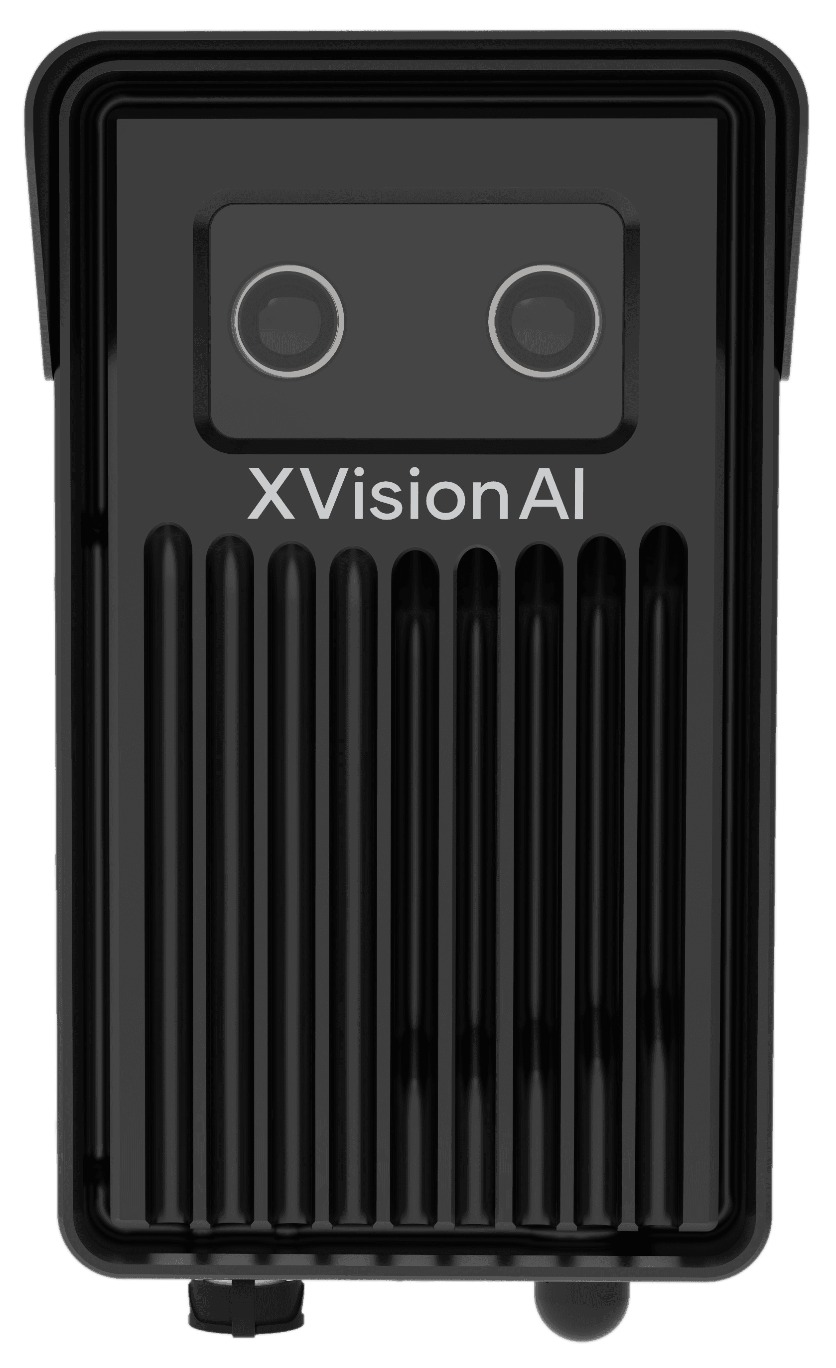
EagleEye
Detect road users and their interactions in 3D. Reason on the device and trigger connected roadside equipment in real time.
Explore EagleEye→Evidence for action.
Bring movement, behaviour and event evidence into investigations and approved enforcement workflows.
Rapid deployment · Portable sensing
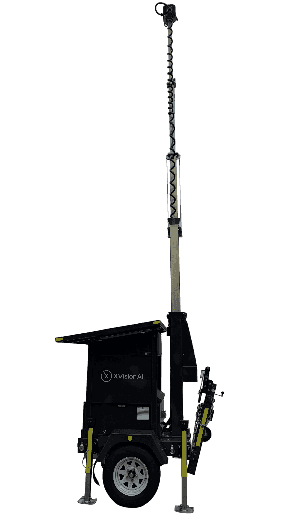
Outpost
Deploy self-contained sensing rapidly for roadworks, events and changing conditions. Capture evidence for operations and approved enforcement applications.
Explore Outpost→Enforcement applications are subject to local regulatory and XVision type approval. Data retention and roadside responses are agreed for each deployment.
In the field · City of Stonnington
One corridor.
A wider understanding.
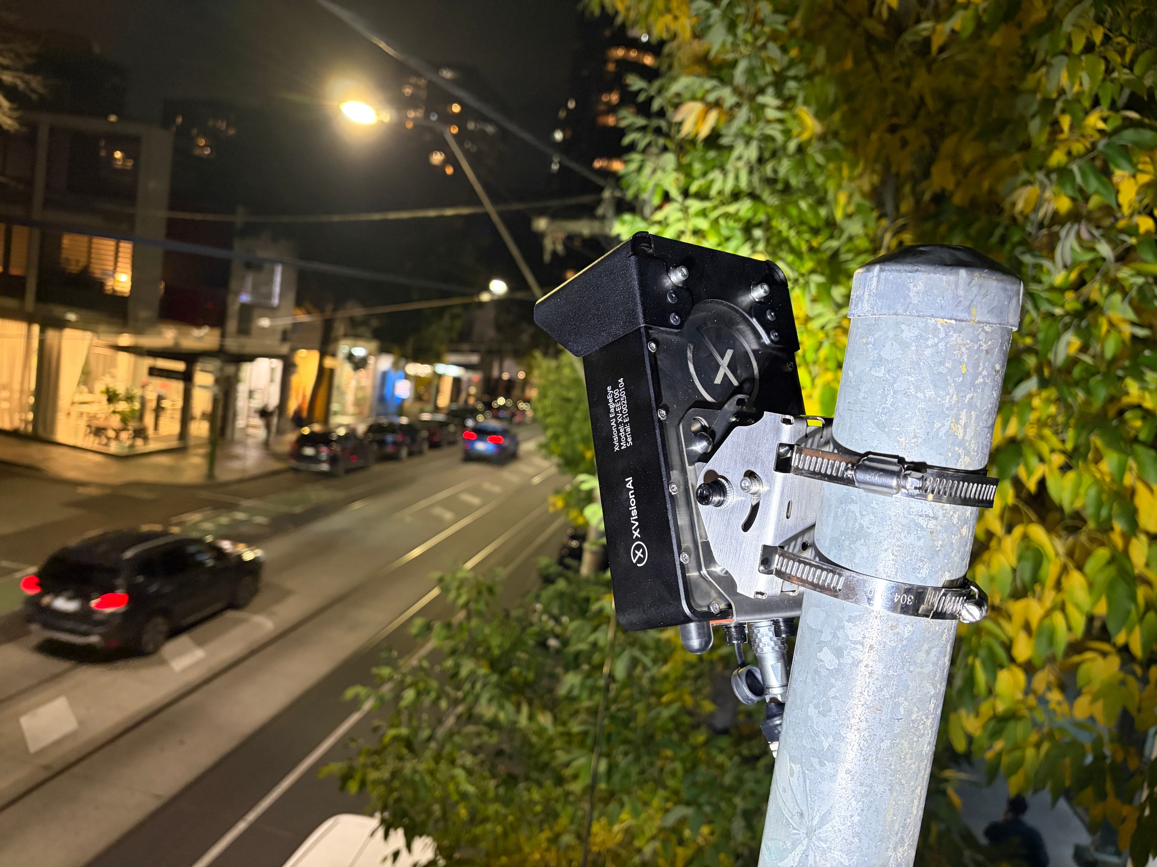
What began on Melbourne’s Chapel Street corridor grew into a road intelligence network supporting traffic operations, road safety and active transport across the City of Stonnington.
Movement and risk evidence has informed speed recommendations, shared-zone improvements and cycling investment.
Read the Stonnington story→See. Think. Act.
What should your
roads know?
Tell us what you need to understand, the data you have and where action is needed.
Discuss your application→