
XVision Command
Days of work.
Minutes to insight.
Connect evidence, analyse data and draft findings and reports in minutes. Your team reviews the evidence and makes the decision - all in one workspace.
AI assistance. Human judgement.
Less time on data.
More time on decisions.
AI helps connect and analyse data and draft findings and reports. Your team reviews the supporting evidence, approves the findings and makes the decision. Spend less time assembling and processing data, and focus expertise where it counts.
Before and after assessment
High Street · Traffic-calming review
Did the upgrade reduce speeding?
85th percentile speed
km/h · matched weekday periods
Daily traffic volume
vehicles/day · weekday average
Illustrative assessment · Same location and weekday periods
Connected sources
AI-drafted findings · For review
85th percentile speed fell by 12 km/h, while daily traffic volume remained broadly similar. The comparison supports a reduction in speeding following the upgrade.
Survey comparison · Vehicle speed records · Upgrade completion record
Your network, connected
Start with a location.
Build a connected network.
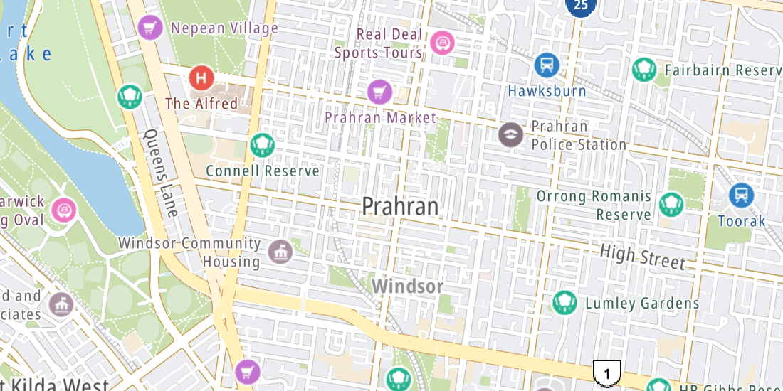
Each location brings its data, findings and decisions into Command. Together, they build a digital representation of your road network, showing how it operates, where risks emerge and what changes over time.
Network view
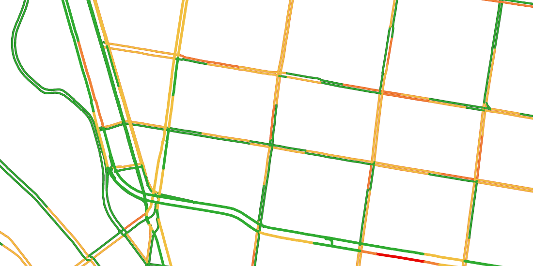
Chapel Street · Network overview
Open investigation
Chapel Street crossing Sensing · CCTV · Survey3 connected sourcesOpen investigation
High Street corridor Traffic · Crashes · CCTV3 connected sourcesProactive network review
Spot emerging risks.
Act earlier.
Command automatically flags emerging risks and changing trends across your connected data, helping your team investigate before serious incidents or community complaints.
What do you want to do today?
Review the speed trend on High Street
Bring the available evidence together and check what needs a closer look.
Connected to your organisation
Your road evidence.
Part of the bigger picture.
Connect road data, findings and decisions with the systems your teams and clients already use. Keep evidence moving across projects, operations and reporting, whether you work in a council, consultancy or road agency.
- GIS & spatial systems
- CRM & customer requests
- Asset management
- Works & maintenance records
- Project & design records
- Document management
- Traffic operations
- Reporting & BI
Connections are configured around your systems, access and workflows.
See. Think. Act.
What should your
roads know?
Bring your data and the work your team needs to move forward. See how Command connects both in one workspace.
Discuss your application →